Come and walk the Voie Régordane, from the Neolithic period to the present day, and you’re sure to come across a King of France, a famous trumpeter, a Scottish writer and a good handful of knights. Not to mention the Beast of Gévaudan and Gargantua!
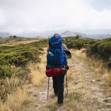
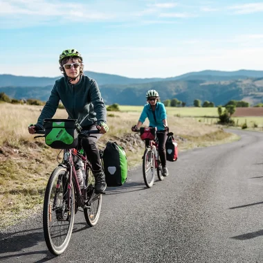
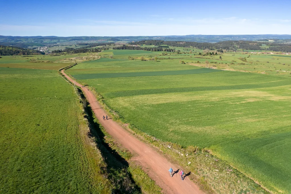
It’s no easy task to recount my journey along the Chemin de Régordane. And with good reason: the GR700 stretches for 240 kilometres, from Le Puy-en-Velay to Saint-Gilles, from the volcanoes of Auvergne to the Camargue! But the challenge lies not only in its geographical diversity. It is above all the richness of its history that makes it such a formidable undertaking. Yet isn’t that also what makes it so fascinating? From the Neolithic period to the present day, people have walked the Chemin de Régordane and left their mark upon it. As I, in turn, set out along the trail, on its Lozère section (60 kilometres), I came across a King of France and a famous trumpeter, a Scottish writer and a good handful of knights. Not to mention the Beast of Gévaudan and Gargantua. Don’t believe me? Read on, and set off on a journey through time, somewhere in the east of Lozère…
- 150 €
- average budget
- 60 km
- route
- 3 days
- touring
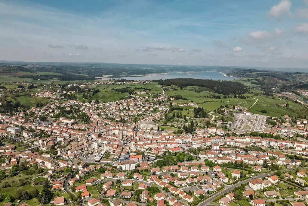
Km 1: In Langogne, I came across Saint-Louis
My story begins in Langogne. I arrive there by train, travelling on ‘Le Cévenol’, a railway line that immediately transports me back in time. More specifically, back to the mid-19th century, a time when more than 6,000 men worked tirelessly to build dozens of viaducts and tunnels! Leaving behind the gruelling grind of the daily commute, I’m savouring the joys of slow tourism, because, let’s be honest, the Cévenol is nothing like a TGV.
A gentle start before setting off on my three-day hike along the Chemin de Régordane… No sooner had I put my shoes on than I came across a famous figure: Louis IX. The famous Saint Louis set off on a crusade in 1248. On his return, he took the Régordane in the middle of August, passing through Langogne as he headed north. But I’m heading south, wandering from pastures to forests as the path takes me.
Km 15: In Luc, I contradicted Stevenson
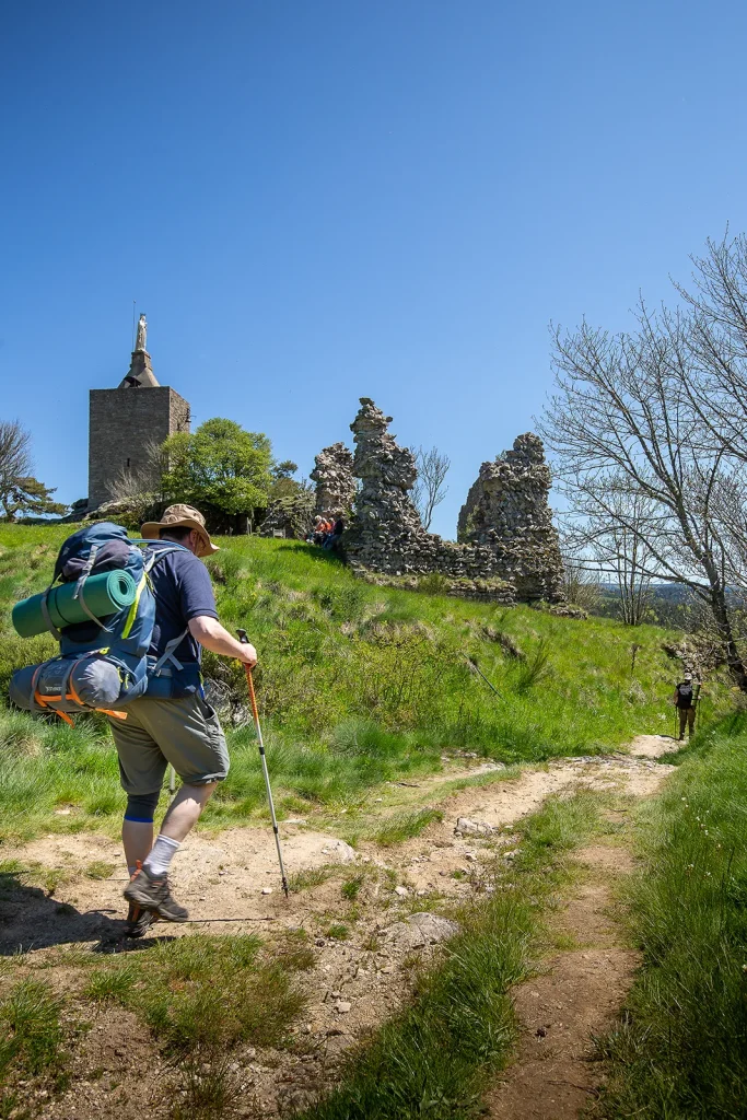
After a little over fifteen kilometres, a strange castle looms up before me: the Château de Luc. I learn that it was one of the strategic strongholds between Gévaudan and Vivarais, protecting a large stretch of the Régordane. Built on a Celtic site, it witnessed the Hundred Years’ War and the Wars of Religion, the Beast of Gévaudan and the abolition of feudal rights following the Revolution! But its history does not end there: in 1878, the parishioners transformed it into a chapel… by erecting a statue of the Virgin Mary at its summit.
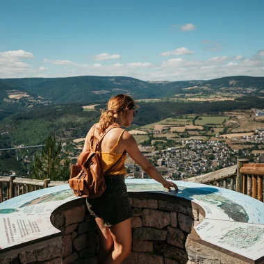
Passing by the castle that same year, Stevenson didn’t find the layout to his liking. But, determined not to let the Scottish writer dictate my actions, I chose to climb the tower to see it all for myself. And when I reached the very top, my efforts were rewarded: a 360-degree panorama unfolded before me! I could see, in particular, Laveyrune, where the old colony would be my home for the night.
Km 33: In Le Thort, I played with Gargantua
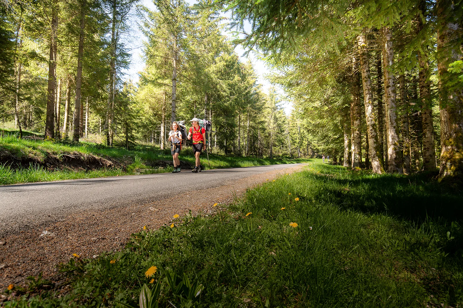
My second day on the Régordane begins with a quote from René Séguier, a man of letters who travelled through Lozère in 1740. As he reached La Bastide, the young man from Allier was so enchanted by the river that he recounted his encounter with it in a letter to his aunt. “One always sees it just as it is, crystal-clear, utterly charming, completely unadorned […]. I could not get enough of looking at this beautiful river.” And it’s true that this river is a sight to behold! There’s even a GR trail for those curious enough to discover its source.
But, for my part, it’s the Régordane that beckons me. I was familiar with this ancient route, and I found confirmation of this further south, at Le Thort. There, I discovered the ‘Palet de Gargantua’, a dolmen that hasn’t moved an inch… since the Neolithic period! A little further on, it’s medieval ruts that guide my steps. At the height of the Régordane’s glory, around the 11th century, proper tracks were carved into the rock to make it easier for goods carts to pass through!
Km 47: In La Garde-Guérin, I came across some knights
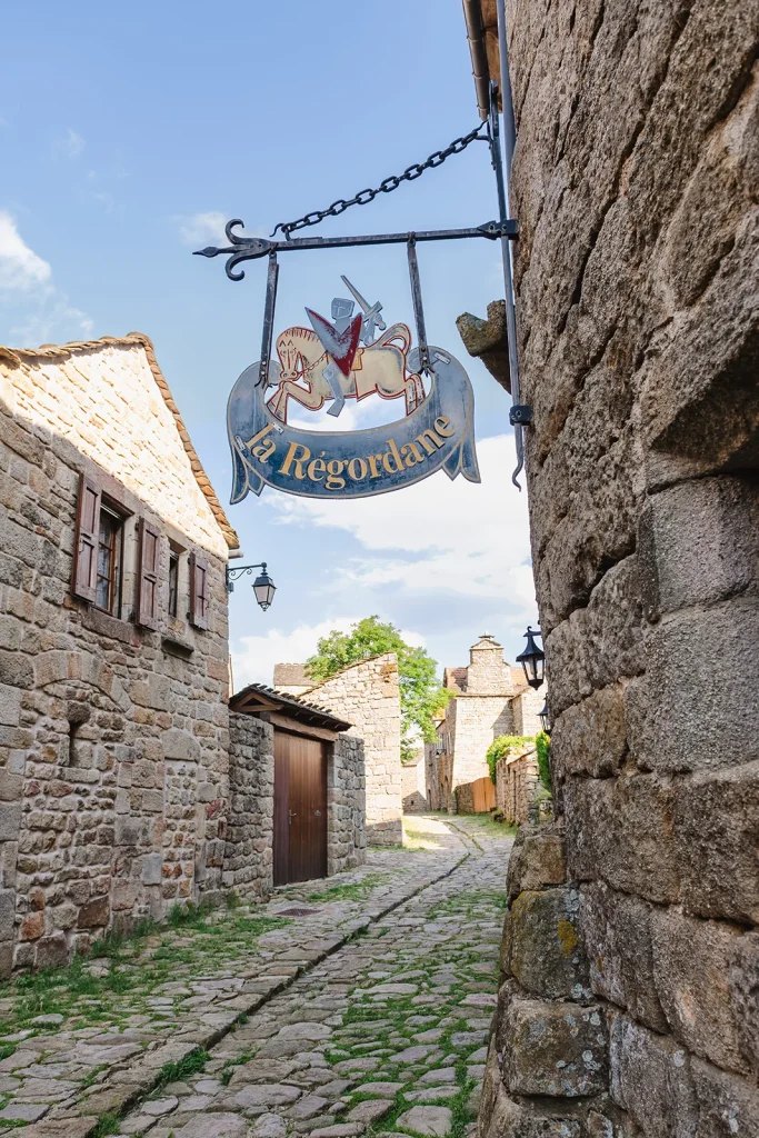
Crossing the Chassezac near the village of Albespeyres, I then reach Mont-Lozère, and with it the village of La Garde-Guérin. Listed among the ‘most beautiful villages in France’, it is the highlight of my second stage. And its history is closely linked to the Régordane. Whilst the village I’m discovering today is one of absolute tranquillity, this was certainly not the case in the 12th century.
The influx of pilgrims on their way to Saint-Gilles Abbey, and of traders heading for the Mediterranean ports, attracted numerous highwaymen to the region. To protect them, Bernard d’Anduze founded the village, a veritable border post defended by knights! And whilst they effectively defended the convoys, the knights also filled the village’s coffers by levying numerous taxes.
The most unusual one? A so-called ‘dust tax’, proportional to the amount of dust kicked up by the herds as they pass through the village!
In the 1st century, whilst Gaul was under Roman rule, cheese from Mont-Lozère was transported along the Voie Régordane to Rome, where it had its own devoted fans
Km 52: In Villefort, I put on my vest
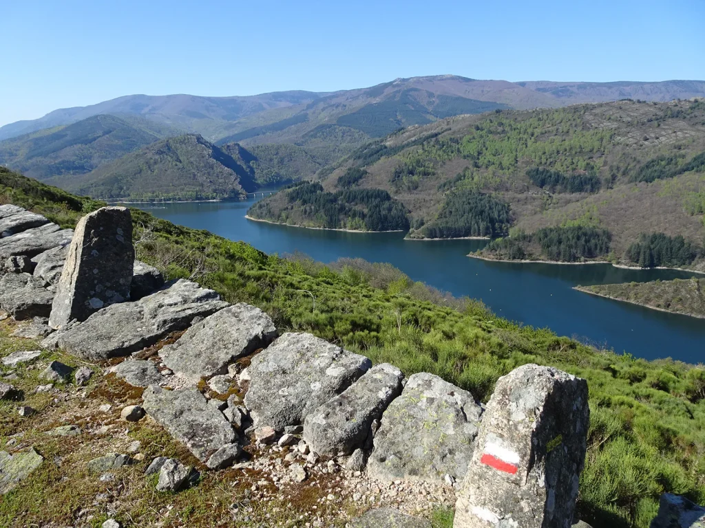
After a well-deserved night’s sleep in a former stately home, I stroll through the cobbled streets of La Garde-Guérin one last time before beginning the descent towards Villefort. The slope is steep, but the builders of the Régordane trail have certainly thought of everything: upright stones allowed pack animals to take a break on the way up. As for me, it’s in the waters of Lake Villefort that I treat myself to a… refreshing break!
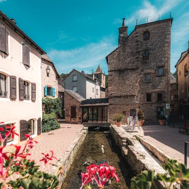
Here I am in the Cévennes, in the land of the Camisards. And right at the heart of the Régordane. It was here, in the Villefort Fault, that it all began. Wild animals used this natural path to move about more easily, followed by herds, shepherds on their seasonal migrations, pilgrims and traders. So it’s no coincidence that Villefort was built to stretch out in a long, narrow line. To attract customers to the inns and shops, you had to have a shop front overlooking the Régordane!
Km 55: In Saint-André, I paid tribute to Maurice André
Just a few more kilometres to go, and after three days’ walk, here I am at the edge of Lozère. On the other side of La Malautière, the Régordane heads into the Gard, where the vineyards of the Costières, the ‘French Rome’ and, of course, Saint-Gilles await. But as for me, I’ve decided to stop off at Saint-André-Capcèze.
Because I only had three days to spare. And because I’m a huge fan of Maurice André, the ‘best trumpeter in the world’ in my opinion… and that of many experts.
But what’s the connection between Maurice André and Saint-André, you might ask. Well, as it happens, this is where Maurice’s father was born: a miner and music lover, he passed on his love of music to his son, along with his passion for the Cévennes. So when he passed away in 2012, it was only natural that Maurice André should be laid to rest here. And so it was on a solemn, yet oh-so-melodious note that my journey along the GR700 came to an end.
Plan your stay
Where to eat, where to stay, what to do?
Discover all our top tips for an authentic and enjoyable hike along the Régordane trail.

Craft industry

4 stars Graded campsite

Via ferrata

Canoeing and kayaking

How do I get there?
- By train: Many of the villages served by the Régordane line are also served by ‘Le Cévenol’, that legendary railway line. So, leave the car behind and take the train to Langogne, Luc, La Bastide, Villefort or Génolhac. The journey takes 2 hours 15 minutes from Nîmes to Langogne, and 2 hours 50 minutes from Clermont-Ferrand to Langogne. The icing on the cake? Throughout the Occitanie region, train tickets are available for just €1 at certain times!
- By car: from Lyon, it takes 2½ hours to reach Langogne via the N88. Montpellier is a 3-hour drive from Langogne, and Toulouse is 4 hours away.
- By tourist shuttle: in summer, shuttles run between Langogne, La Garde-Guérin and Villefort and Mende. Allow 1 hour for the journey to Langogne and Villefort, and 1 hour 30 minutes for La Garde-Guérin.