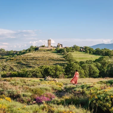
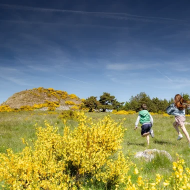
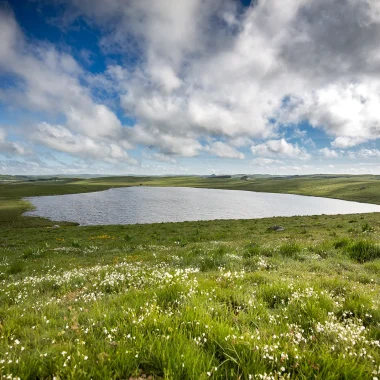
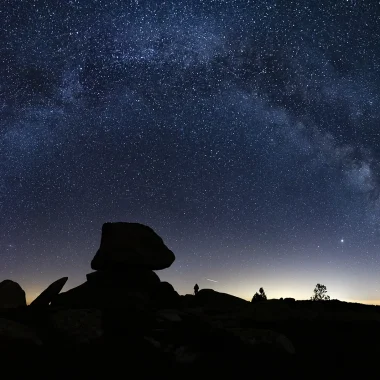
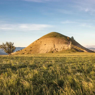
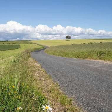
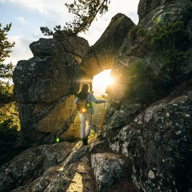
The Margeride is Europe’s largest granite plateau. Here, the rocks are like sculptures set amongst the short grass. They accompany the traveller through fields and meadows: the Margeride is a cultivated land criss-crossed by rivers and rich in diverse flora and fauna. Two lakes, Naussac and Charpal, offer sporting activities and family walks. Towns and villages nestled within a landscape of wide-open spaces harbour hidden treasures. Wandering through Gévaudan…
La Margeride: a haven of peace
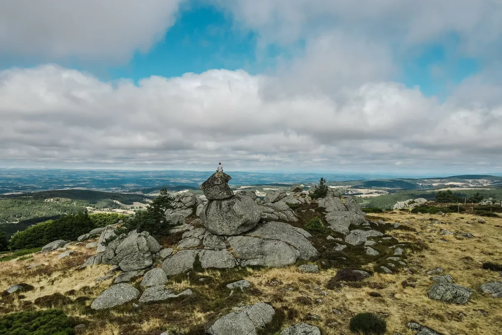
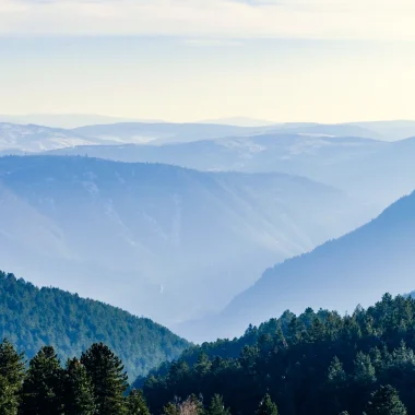
In the north of Lozère, the Margeride undulates through gentle, verdant landscapes in summer and is blanketed in pristine white snow in winter. Covering an area of 1,600 km², Europe’s largest granite plateau extends into the Cantal and Haute-Loire departments. It reaches an altitude of 1,300 m. Of its ten or so peaks, three rise to over 1,500 m: the Signal de Randon and the Truc de Fortunio (1,551 m); the Moure de la Gardille (1,503 m), in the Mercoire Forest near Langogne, where the Allier and Chassezac rivers have their sources.
A diverse range of flora and fauna
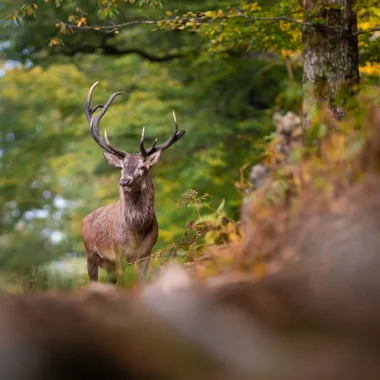
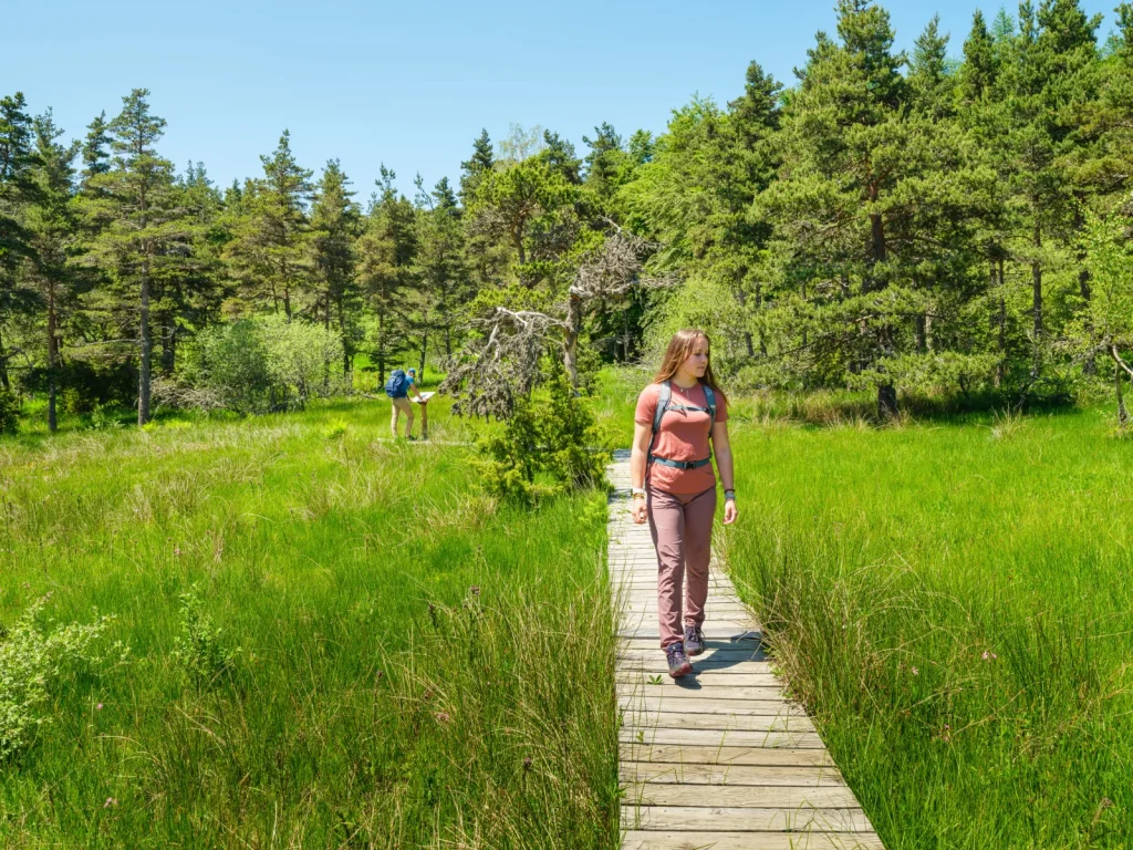
Travelling through the Margeride means discovering peat bogs, meadows, woodland undergrowth, watercourses and their banks. The plateau is home to a wealth of flora: orchids, carnivorous plants, foxgloves, heather, gentian, martagon lilies… And a highly diverse local fauna, ranging from the insects that feed on the flora to the animals typical of these habitats: deer, wild boar, hares, fish, crayfish, otters and partridges. This ecological richness is linked to the region’s extensive waterways.
Also known as the ‘water tower of the Massif Central’, the Margeride is a land of springs that feed the Loire, the Garonne and the Rhône. To the west, the Truyère forms its western boundary with the Cantal and Aubrac mountains. To the east lie the Allier Gorges and the Devès Massif. To the south, the Lot Valley separates it from the Cévennes and the Causses.
The name of a seigneury
Histoire de la Margeride
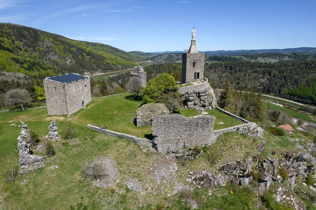
La Margeride takes its name from a seigneury whose castle fell into ruin in the 15th century, and from a forest reaching an altitude of 1,380 metres near Védrines-Saint-Loup. The National Forestry Commission formalised the name in the 19th century and applied it to the Lozère part of the massif. In the 20th century, the name came to be used for the entire granite plateau.
In Margeride, you have to lose yourself on the paths, forget about your sat-nav and discover the undergrowth carpeted with moss, into which you can sink for a nap, the hamlets with their stone houses and pale slate roofs, their regular masonry, their large vaulting stones, and their dated gables. The localities are known as Chabannes, Montchamp, Les Estrets… Cows watch out for the traveller, and one is sometimes surprised to mistake them for the granite boulders scattered amongst the short grass, amidst the hedgerows and dense woods. In cattle farming, 85 per cent of farms produce ‘Fleur d’Aubrac’ grass-fed heifers and pasture-reared calves, as well as cheeses such as Bleu des Causses.
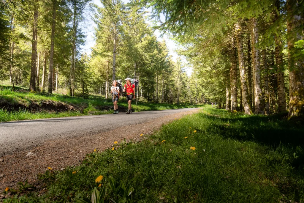
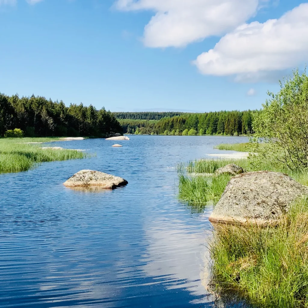
Narrow country lanes wind their way through a mosaic of cultivated fields and meadows towards Lake Charpal. Here, standing stones line the fields and roads, and in places, wayside crosses dot the path. We are in Catholic country.
Things to do in Margeride
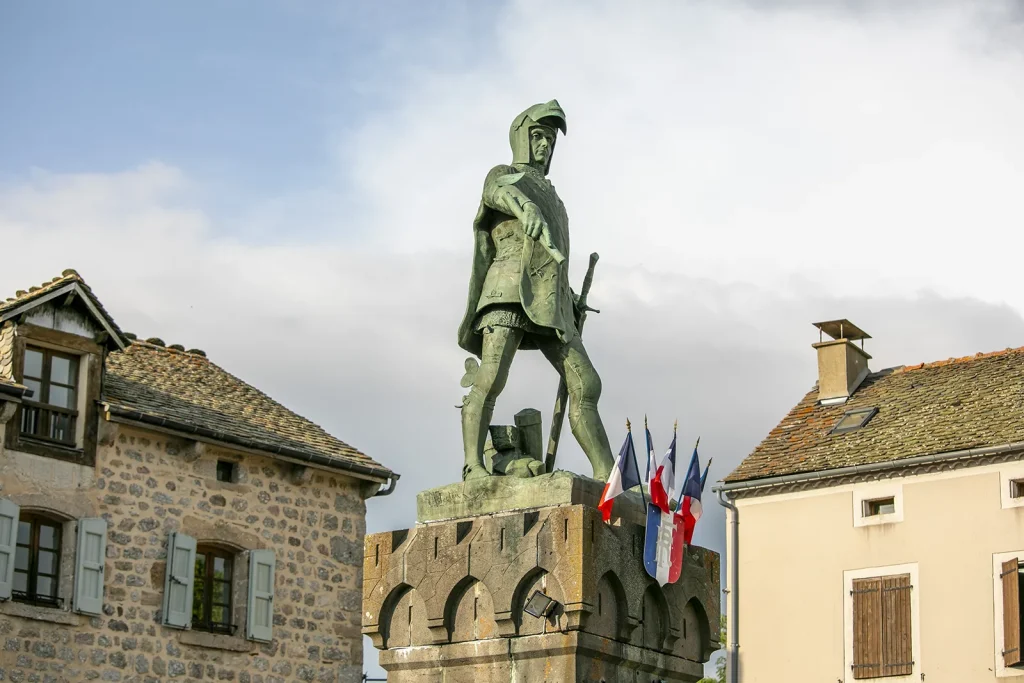
Whatever route you take, your journey will take you to a few unmissable towns. Châteauneuf-de-Randon is one such place, with its houses of hewn stone scattered across a granite peak. All that remains of Du Guesclin’s visit – when he liberated the village – is a rampart walk leading to the Tour des Anglais. The Constable died here after drinking the icy water from the Fontaine de la Glauze. His statue overlooks the main square, and a museum – open in July and August – traces the history of this great French figure.
Towards Langogne
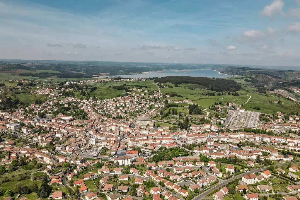
Near Langogne, Lake Naussac offers 1,000 ha of leisure activities. The surrounding landscape is full of dark forests. The earth is red; it is said that Gargantua, once again, had a nosebleed here… In Langogne, don’t miss the Calquières spinning mill and its museum. Everything here bears witness to the region’s industrial past, when the mill and its waterwheel powered the spinning mill’s machinery and the millstones used to grind grain. The wool mill closed its doors in the 1990s. But you can still admire the famous Mull Jenny, an automatic winding and twisting machine, and learn all about the processing of wool, from shearing right through to the items manufactured on site. The old town boasts a 12th-century Romanesque church, an 18th-century grain market and a Byzantine-style chapel.
The Val d’Allier
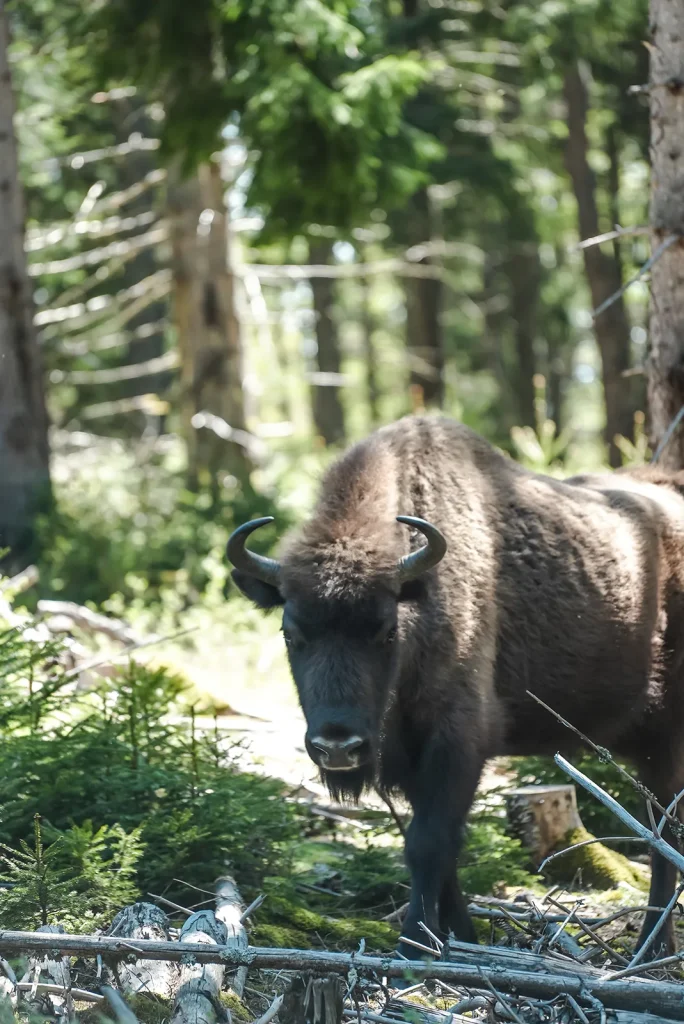
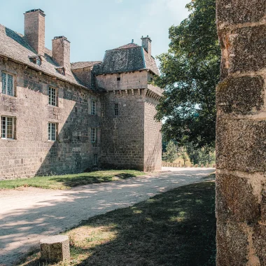
On the road to Grandrieu, the countryside holds surprises for the observant traveller: here, the magnificent stone buildings of a farm (Fabrèges) stand opposite the restored small castle, on the other side of the road. One cannot help but admire the skill with which the dry-stone walls have been constructed. We are on the Val d’Allier circular route. Below us flows a river where rock and vegetation vie for dominance for a few kilometres. We pass the Chapeauroux, a tributary of the Allier which rises at the Col du Cheval Mort. The European bison reserve is not far away.
Saint-Alban Castle
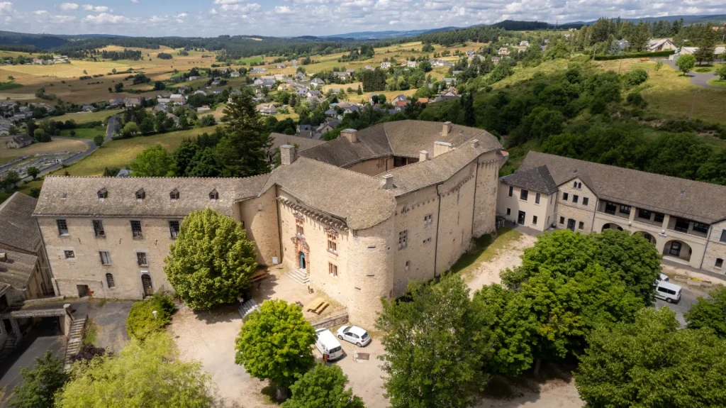
In Saint-Alban-sur-Limagnole, visitors can explore the château, which features a magnificent gateway made of pink arkose, a rock composed of quartz and feldspar. Converted into a psychiatric hospital in 1945, it was here that the concept of institutional psychotherapy was developed by François Tosquelles, after whom it is named. You can also see the works created by the patients over the years, which the painter Dubuffet was the first to describe as ‘art brut’.
The area around Marvejols
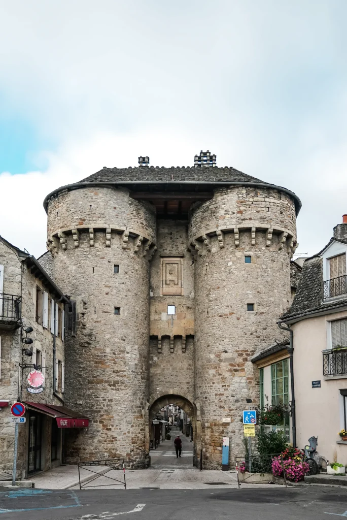
Finally, in the far south, Marvejols, a historic town in the Gévaudan region, is a good base from which to explore the surrounding area. From the south-west to the south-east: the Church of Saint-Romain in Chirac; the Merovingian stelae at Pin; the Montagne Fendue between Grèzes and Palhers; and Cougoussac Castle near Gabrias. To the north, Crespin Castle in Antrenas; to the west, the Pic de Mus in St-Laurent-du-Muret; Lake Moulinet in Le Buisson; the restored bread oven at Recoules-de- Fumas, then eastwards to St-Léger-de-Peyre, the Viaduc de l’Enfer and its superb valley, not forgetting the Gévaudan Wolf Park.
Find out more
Thematics