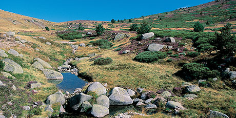
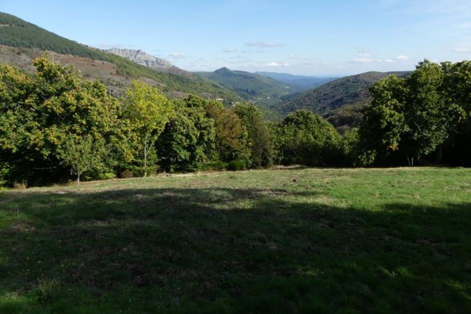
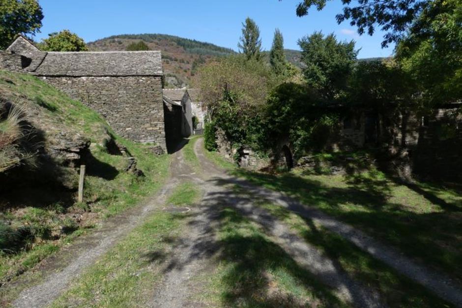
Col de Banette - VTT n°3 - VIALAS
Accommodations
Hotels
Guestrooms
Gites rentals
Holiday villages
Restaurants
Restaurants
Nature Sports
Sport activities
Outing
Sporting route
Reception
Min height : 520 m
Max height : 1106 m
Natural regions : Mont Lozere
Territories : National Park of the Cevennes
Itinerary
Level : Hard
Distance : 20.7847 km
Duration in hours : 03:15 h
Negative difference : 1061 m
Positive difference : 1061 m
Loop itinerary : yes
Information updated on 22/12/24 / Report an error on this offer !


