LE TOUR DU MONT LOZÈRE EST - PONT DE MONTVERT - SUD MONT LOZERE
Tourist on bicycle
LE TOUR DU MONT LOZÈRE EST
48220 PONT DE MONTVERT - SUD MONT LOZERE
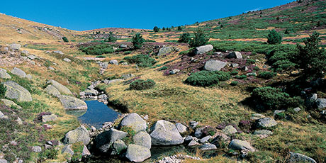
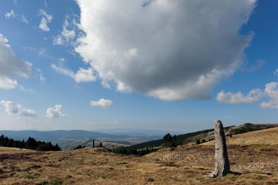
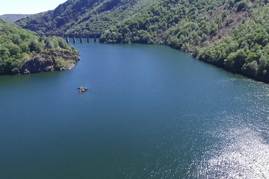
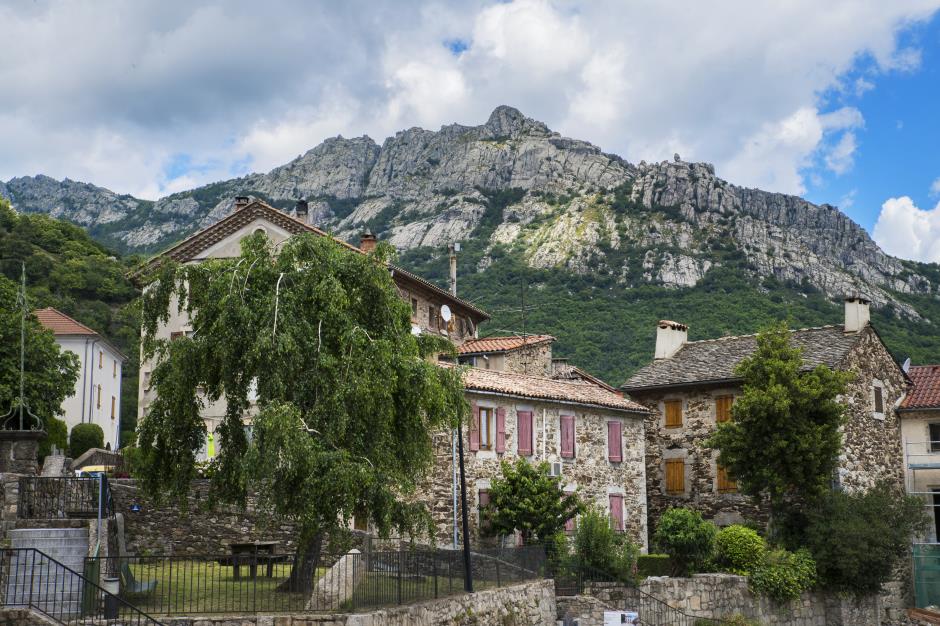
This demanding tour allows you to experience the beauty of Mont Lozère and the diversity of its surroundings. Climb to the Col de Finiels, then a superb descent into the Altier valley to reach Villefort and its lake. From there, you can go directly to Génolhac on the D906, or take the D51 towards Ponteils and Bresis, or of course go back up to the Mas de la Barque to go to the Col du Pré de la Dame. From there, the descent to Génolhac is just as magnificent, with the Bouzèdes viewpoint. You then have to go back up to the Croix de Berthel, passing through the very pretty village of Vialas under its Trenze cliff.
Unmarked itinerary.
Reservation
Itinerary
Distance : 109 km
Duration in hours : 08:30 h
Negative difference : 2530 m
Positive difference : 2530 m
Loop itinerary : yes
Useful tips
Indicative time based on 12.6 km/hour. Excellent physical condition required. Wearing a helmet is highly recommended. Do not forget your repair kit and a small tool kit. Slow down in villages and hamlets. Unmarked itinerary.
OFFICE DE TOURISME CEVENNES AU MONT-LOZERE
PONT DE MONTVERT - SUD MONT LOZERE
Information updated on 01/09/22 / Report an error on this offer !


