Les couronnes - FLORAC TROIS RIVIERES
Foot
Les couronnes
48400 FLORAC TROIS RIVIERES
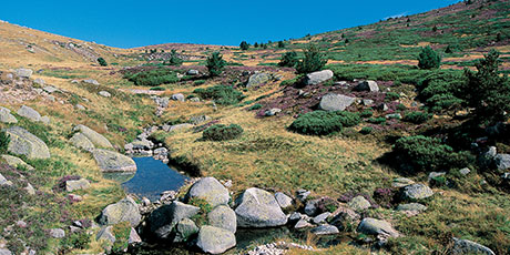
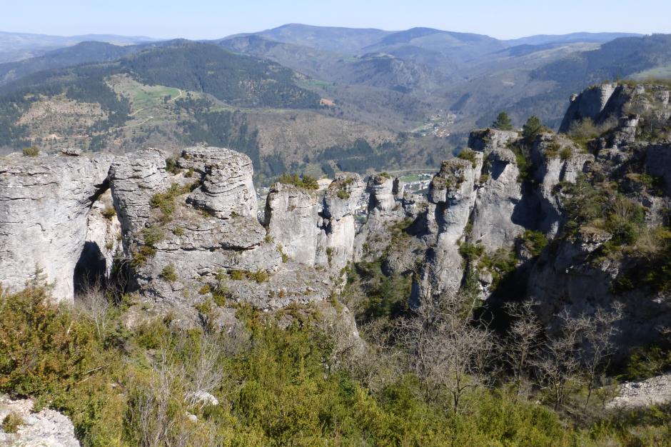
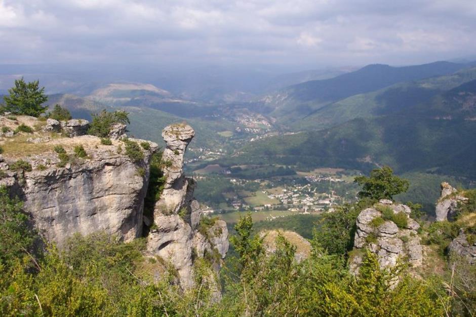
This trail leads onto the plateau of the Causse Méjean, which offers viewpoints towering over the valley of Florac and the spectacular “crowns”. On the horizon, the Cévennes and Mont Lozère stand out as a series of planes to infinity.
Reception
Min height : 538 m
Max height : 1036 m
Natural regions : Cevennes • Causse Mejean
Territories : National Park of the Cevennes
Itinerary
Beacon : Yellow PR
Level : Hard
Distance : 14.3349 km
Duration in hours : 06:00 h
Negative difference : 1026 m
Positive difference : 1023 m
Loop itinerary : yes
Access : Above Florac, on the D 16 (towards Causse Méjean/Aven Armand). The carpark is on the right, below the cemetery Carpark below the cemetery on the Causse road.
Useful tips
Substantial height difference; path is steep in places. Make sure your equipment is appropriate for the day's weather conditions. Remember that the weather changes quickly in the mountains. Take enough water, wear good shoes and put on a hat. Please close all gates and barriers after yourself.
Information updated on 22/01/25 / Report an error on this offer !

