LA CHAM DE L'HERMET - PONT DE MONTVERT - SUD MONT LOZERE
Foot
LA CHAM DE L'HERMET
Parking du temple ou parking de l'église
-
48220 PONT DE MONTVERT - SUD MONT LOZERE
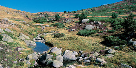
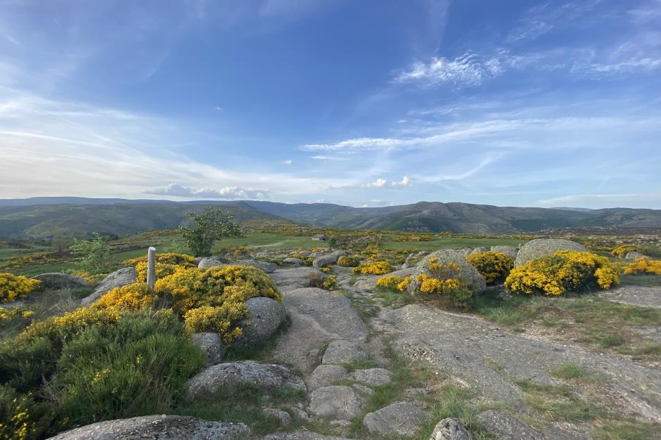
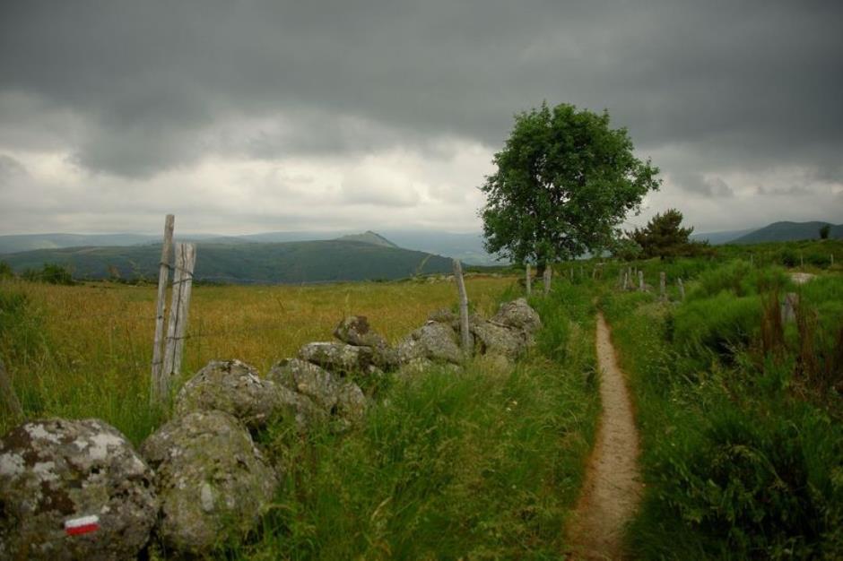
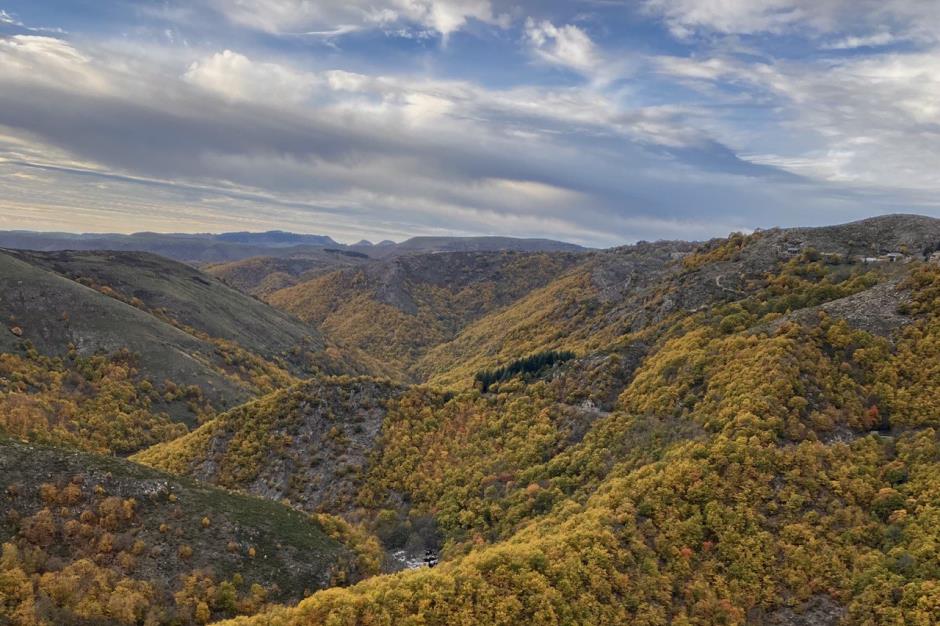
The cham de l'Hermet, on the northern slope of the Bougès, allows you to discover the diverse landscapes of the Tarn valley, passing by the Hermet plateau where the beautiful granite hamlet of the same name nestles. The descent to Pont-de-Montvert offers a magnificent panorama of the whole of the Mont Lozère range, where the peak of Finiels culminates at 1,699 m.
This trail, which crosses very diverse landscapes, allows you to understand the complexity of the interactions between man and nature.
Reception
Min height : 871 m
Max height : 1110 m
Natural regions : Mont Lozere
Territories : National Park of the Cevennes
Document language : French
Itinerary
Beacon : Interpretive Trail
Level : Easy
Distance : 7.8346 km
Duration in hours : 03:00 h
Negative difference : 345 m
Positive difference : 344 m
Loop itinerary : yes
Useful tips
Start from the Clock Tower, cross the bridge over the Tarn and turn right.
OFFICE DE TOURISME CEVENNES AU MONT-LOZERE
PONT DE MONTVERT - SUD MONT LOZERE
Information updated on 23/12/24 / Report an error on this offer !


